“Wild Planner” is a new and innovative GIS tool developed by a Wildlife Conservation Society researcher for land-use planning and wildlife movement.
One key strategy to advance our mission is developing a “smart growth” vision for the future of our valley – a touchstone we can refer to during the regular land-use decisions that will determine our future. In recent years, we have evaluated various scenario planning models and projects to display and analyze growth scenarios and their impacts. And although we consider wildlife habitat and protection in all our planning work (see our Northern South Park Neighborhood Plan vision and conservation recommendations), we have not yet done modeling that predicts wildlife permeability through Jackson Hole valley as it develops. We’re excited about a new tool we saw last week.
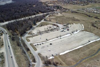
In a recent presentation, Brent Brock, a researcher with The Wildlife Conservation Society who works on rural development and wildlife impacts, explained how to use Geographical Information System (GIS) modeling tools to accomplish landscape-level conservation planning. He discussed applications and case studies of Wild Planner, a GIS tool he created for land-use planning and wildlife movement. Ideally, these tools will be integrated into broad-scale conservation plans for local land use decisions. A current local example where this model could be applied is the Northern South Park neighborhood plan.
Measuring permeability is difficult because we are still learning what wildlife requires to safely move through human development, and it is species-dependent. In Wild Planner, permeability is measured in GIS programs using the minimum requirements a target species needs to move through an area successfully (food resources, water, habitat, shelter, buffer from development). To help predict potential areas for permeability, one could map the current or future disturbances of an area and analyze how much habitat would still meet those requirements. The spaces that come up are potential wildlife corridors.
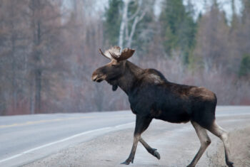
The more corridors we have in and around development means more wildlife permeability because they can safely move through these areas without conflict. For example, in the Northern South Park area, large ungulates (elk, deer, moose) are the target species, so we’d like to see open space directed away from development and wide enough to promote utilization. Typically, when it comes to permeability, the larger the animal, the more space they need to safely move through an area.
We are excited to use Wild Planner to better guide future development decisions!